You might glance at a map and just see lines, colors, and abstract shapes. But strip away the aesthetic, and you’ll find something far more functional. Maps are not just decorative pieces of paper or static digital images. They are essential tools for understanding the complex geography of our planet. Without them, the world would feel significantly smaller, yet infinitely more confusing.
Think about the last time you needed to get somewhere new. Or perhaps you were trying to figure out how to use a patch of land efficiently. In almost every scenario, a map steps in to provide clarity. They help us determine direction. They assist in planning travel routes. They serve as the backbone for land management, local governance, commercial logistics, and even military strategy.
What Exactly Is a Map?
At its core, a map is a representation of an area. It translates the three-dimensional surface of the Earth onto a two-dimensional plane. This translation is not random. It is a calculated effort to convey specific information accurately. Whether it is a physical paper map tucked in a glove compartment or a dynamic GPS interface on your phone, the fundamental purpose remains the same: to guide you.
But maps do more than just point you north. They tell stories about the land. They show you where roads intersect with rivers. They highlight elevation changes that might affect a hike. They mark boundaries that define jurisdictions, which is crucial for everything from paying taxes to understanding local laws.
Why Maps Matter in Daily Life
The utility of a map extends far beyond simple navigation. Consider the logistical side of things. A business owner needs to know where to place a new warehouse for optimal distribution. A local government needs to plan zoning laws based on land use. A military strategist needs to understand terrain for operational safety. In all these cases, the map is the primary source of truth.
For the average person, the benefits are just as tangible.
- Direction and Orientation: Maps provide a reference frame. You know where you are relative to where you want to go. This reduces anxiety and saves time.
- Travel Planning: Whether you are driving across a state or flying to a foreign country, maps help you visualize the journey. They highlight potential bottlenecks, scenic routes, and necessary stops.
- Land Use and Management: Farmers use maps to monitor crop health. Urban planners use them to design efficient public transport systems. Conservationists use them to track wildlife habitats.
- Commercial and Economic Activity: Retailers analyze demographic maps to decide where to open new stores. Supply chain managers use them to optimize delivery routes.
The Evolution of Mapping Tools
We have come a long way from hand-drawn parchments and astrolabes. Today, technology allows for real-time updates and interactive features. Satellite imagery provides high-resolution views of even the most remote areas. Geographic Information Systems (GIS) allow users to layer multiple types of data, creating a richer understanding of the environment.
Yet, the basic principle remains unchanged. A map is a tool for decision-making. It simplifies complexity. It turns a chaotic landscape into an organized grid of information. And in a world that is constantly changing, having a reliable map is not just convenient. It is necessary.
So, the next time you pull up a map, take a moment to appreciate what you are looking at. It is not just
Haritalar sadece kağıt üzerinde duran kağıtlar değil. İnsanlığın en eski ve en kullanışlı görsel araçlarından biri. Bir bölgenin yüzeyini, şeklini ve tam konumunu netleştirirler. Ama işlevleri bundan çok daha geniş. Yön bulmaktan seyahat planlamasına. Arazi kullanımından yerel yönetimlere. Ticari kararlar veya askeri stratejiler de haritalara borçlu.
Her harita belirli bir ölçekte çizilir. Koordinat sistemiyle farklı yerleri birbirine bağlar. Ölçek. Yüzey gösterimi. Sembolizasyon. Renk kullanımı. Bunların hepsi haritanın okunabilirliğini ve doğruluğunu belirler.
Haritaların Tarihsel Gelişimi
Harita yapma merakı, insanların birbirleriyle olan ilişkilerini anlamaya çalışmasından doğdu. İlk harita izleri M.Ö. 6000 yılına kadar uzanır. O dönemlerdeki çizimler genellikle bir bölgedeki yerleşim yerlerini, akan nehirleri ve göze çarpan dağları işaret ederdi. Sadelik esastı.
Zamanla kapsam genişledi. Dünya haritaları ortaya çıktı. Deniz haritaları denizaşırı rotalar için hayati hale geldi. Farklı türlerde haritalar yapılmaya başlandı. Her yeni tür, insanlığın keşif ve yönetim ihtiyaçlarına yanıt verdi.
Modern Teknoloji ve Haritalama
Günümüzde haritalar sadece statik görseller değil. Etkileşimli ve dinamik araçlar. Gelişmiş teknolojilerle birleşince kullanım alanları katlandı. Coğrafi bilgi sistemleri (GIS) veriyi yönetmeyi ve analiz etmeyi kolaylaştırıyor. Uydu görüntüleri gerçek zamanlı veri sağlıyor. İHAlar (insansız hava araçları) hassas arazi taraması yapıyor.
Bu teknolojiler haritaları daha detaylı ve hassas kıldı. Dijitalleşme ise erişimi demokratikleştirdi. İnternet ve mobil cihazlar sayesinde haritalara her an, her yerden ulaşmak mümkün. Artık cebimizdeki telefon, en güçlü navigasyon asistanımız.
Haritaların Günlük ve Profesyonel Kullanım Alanları
Haritaların kullanım alanları hayal edileceğinden çok daha çeşitli. İşte hangi durumlarda ve nasıl işe yaradıkları:
- Navigasyon ve Yol Tarifi: En temel kullanım. Araç, bisiklet veya yaya navigasyonu için anlık yön bulma. Trafik durumunu da gösteren dijital haritalar, rotayı dinamik olarak günceller.
- Seyahat Planlaması: Turistik rotalar, konaklama yerleri, ulaşım hatları. Bir bölgenin coğrafi yapısını anlamak, seyahat bütçesini ve zamanını optimize etmeye yardımcı olur.
- Arazi Kullanımı ve Şehircilik: Belediyeler ve planlamacılar, arazinin kullanımını (
Maps are not just paper with lines on them. They are tools. Practical tools. Used for everything from finding your coffee shop to tracking a hurricane. But how exactly do they work in the real world?
Let’s look at the heavy lifting. The infrastructure that holds it all together.
How GIS Transforms Raw Data into Decisions
You hear the term Geographic Information Systems (GIS) thrown around a lot. It sounds technical. It is. But the concept is simple. GIS is software that layers different types of data onto a map.
Think of it like a digital cake.
Layer one: Roads.
Layer two: Soil type.
Layer three: Population density.
Layer four: Rainfall history.
When you stack these layers, you see patterns. You spot problems. A city planner can see where a new park would actually be useful. An environmental agency can predict where erosion will hit hardest.
This isn’t just for governments. Private companies use it too. They track assets. They monitor supply chains. They visualize complex data sets that would otherwise be unreadable spreadsheets.
“GIS helps us make better decisions by turning raw geographic data into visual insights.”
Why Local Governments Rely on Digital Maps
Walk through any city. Look at the potholes. The traffic lights. The zoning signs. Behind every of that is a map.
Local governments use these tools daily. Here is the practical breakdown:
- Infrastructure Management : Knowing exactly where water pipes and electrical grids run. When a pipe bursts, they don’t guess. They look it up.
- Zoning and Land Use : Deciding where a factory can go versus where a school must be. Maps make these boundaries clear.
- Emergency Response : Fire trucks need the fastest route. Police need the safest route. Maps provide that real-time navigation.
- Tax Assessment : Evaluating property values based on location, size, and nearby amenities.
Without accurate maps, cities would be chaotic. Projects would be delayed. Resources would be wasted.
How Businesses Use Maps for Profit
It’s not all public service. Companies love maps. They love them because maps show money.
Retailers use market mapping to decide where to open a new store. They don’t just pick a random spot. They analyze:
- Customer Demographics : Who lives nearby? What do they buy?
- Competition : Where are the other stores?
- Traffic Patterns : How many cars pass by every day?
Logistics companies do something similar. They map out delivery routes to save fuel and time. They track fleets in real-time. They adjust for traffic jams. They optimize the entire supply chain.
Marketing teams use maps to target ads. You know how an app knows you’re near a specific mall? That’s geofencing. That’s map data in action.
The Role of Maps in Military Strategy
Let’s shift to a more serious application.
Military maps are different from tourist maps. They are detailed. Precise. Often classified.
They show:
- Terrain : Elevation, water sources, cover.
- Infrastructure : Bridges, roads, airports.
- Threats : Enemy
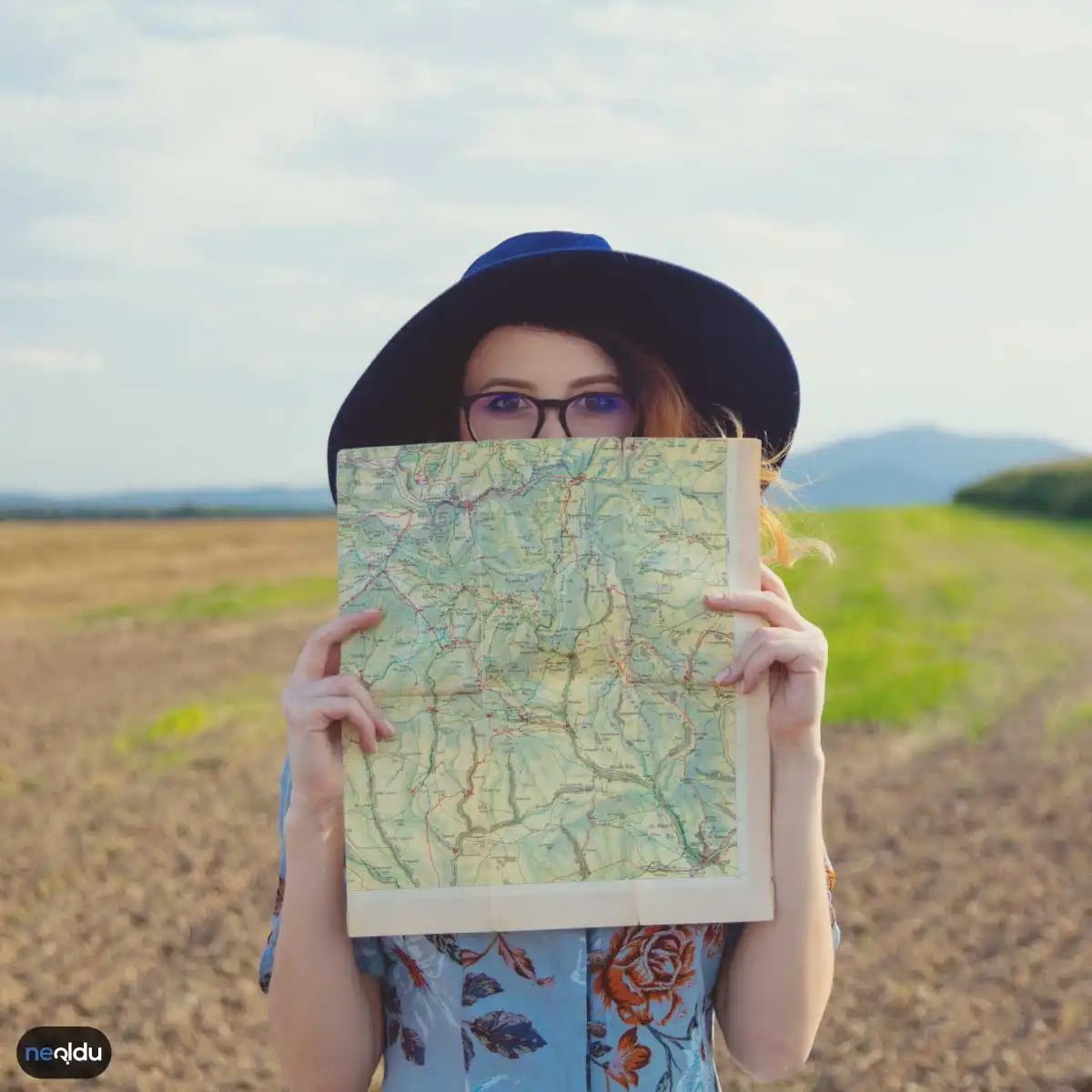
Most people think of a map as just a picture of where things are. They aren’t. A map is a tool. And like any tool, its design depends entirely on what you’re trying to build, fix, or find.
Using the wrong map for the job is like trying to measure a room with a ruler meant for sewing. It might give you a number, but that number won’t help you buy the right carpet. That’s why understanding the specific purpose of different map types is essential for efficient navigation, planning, and analysis.
Here is a breakdown of the six main categories of maps you’ll encounter, what they actually show, and who needs them.
How Topographic Maps Reveal the Hidden Landscape
You’ve likely seen them. Those dense, squiggly lines that look like a tangled ball of yarn? Those are topographic maps, also known as surface maps.
They don’t just show where a mountain is. They show how steep it is, how high it rises, and what the ground feels like under your boots. By using contour lines to represent elevation and slope, these maps turn a flat sheet of paper into a 3D mental model of the terrain.
This is critical information for:
* Military operations: Knowing who holds the high ground.
* Geological surveys: Understanding soil stability and rock formations.
* Hiking and climbing: Avoiding sudden cliffs or finding safe paths up a ridge.
If you are planning a trail hike, a topographic map is non-negotiable. It tells you if you’re walking along a gentle slope or climbing a vertical wall.
Administrative Maps: Defining Borders and Jurisdiction
Ever wondered where one country’s laws end and another’s begin? Or which county governs your local road repairs? Administrative maps answer those questions.
These maps are purely about human organization. They draw clear, hard lines around countries, states, provinces, counties, cities, and villages. They don’t care about mountains or rivers unless those natural features happen to serve as political borders.
Who uses them?
* Government agencies: For tax collection, voting districts, and resource allocation.
* Local councils: For zoning laws and infrastructure maintenance.
* Businesses: To understand market regions and shipping jurisdictions.
When you need to know who is responsible for an area, you look at an administrative map.
Navigational Maps: Getting From A to B
This is the map type most people use daily. Navigation maps are designed for movement. They strip away the complex elevation data of topographic maps and focus on connectivity.
They highlight roads, highways, airports, ports, and transit lines. The goal is simple: efficiency and direction.
- Drivers: Rely on road networks and traffic flow.
- Pilots: Use airways and airport locations.
- Mariners: Track shipping lanes and coastal hazards.
Modern GPS apps are essentially digital navigation maps, updated in real-time. But the core principle remains: these maps are about the path, not the terrain itself.
Climate Maps: Understanding Weather Patterns
Weather changes by the minute. Climate, however, is the long-term pattern. Climate maps visualize this
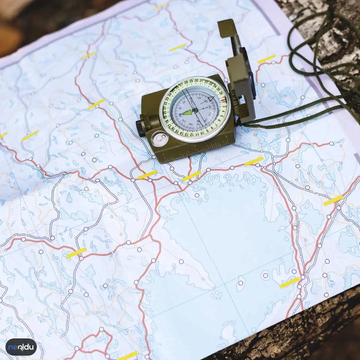
How to Read Maps: Essential Terminology for Navigation
Maps are more than just pictures of places. They are tools that translate complex geographic data into something you can actually use. To get value from them, you need the language. Here is the breakdown of the terms you need to stop guessing and start navigating.
Understanding Map Scale
The map scale is the ratio between the map and the real world. It turns abstract lines into actual distances. Take a map with a scale of 1:50,000. This means one unit on the paper equals 50,000 of those same units in reality. If you measure one inch on the map, that is 50,000 inches on the ground. It is a simple multiplier. Ignore it, and your hike might take five times longer than planned.
Locating the Poles and Lines
The pole points mark the northern and southern extremes of the Earth. On a map, these are the centers where latitude lines converge. They are the anchors of the grid.
Meridians run vertically. They divide the globe into eastern and western hemispheres. The prime meridian sits at zero degrees in Greenwich, London. It is the starting line for longitude.
Latitude lines run horizontally. They split the world into northern and southern halves. The equator is the largest latitude line, sitting at zero degrees. It separates the hemispheres evenly.
Reading Elevation and Depth
Elevation, or altitude, measures how high a point is above sea level. Topographic maps show this using contour lines. These lines connect points of equal height. If the lines are close together, the slope is steep. If they are far apart, the land is flat.
The continental shelf is another key feature. It is the submerged edge of a continent where water depth is less than 200 meters. It stretches along the coastline. This area is rich in natural resources and defines where land truly ends and the deep ocean begins.
The Geographic Coordinate System
How do you pinpoint a specific location anywhere on Earth? The geographic coordinate system answers that. It uses a grid of latitude and longitude.
Latitude tells you how far north or south you are from the equator. Longitude tells you how far east or west you are from the prime meridian. Together, they create a unique address for every spot on the planet. No guesswork needed. Just two numbers.
Why Map Literacy Matters
Can you find your way without a map? Maybe. But it is risky. Reading maps is essential for safe navigation, travel planning, and understanding natural resources. It allows you to explore different regions with confidence. Whether you are hiking a trail or studying climate patterns, map skills are non-negotiable.
Types of Maps and Their Uses
Not all maps are the same. They serve different purposes based on data and scale. Common types include:
- Road maps: For driving and transit.
- Topographic maps: For terrain and elevation.
- Satellite images: For visual reality checks.
- Political maps: For borders and cities.
- Population maps: For demographic density.
- Climate maps: For weather patterns.
Each type highlights specific information. Choose the right one for your task.
Map Projections: The Math Behind the Paper
You might wonder why countries look distorted on some maps. That is map projection at work. It is a mathematical technique to flatten the 3D curved surface of the Earth onto a 2D map. You cannot do this without error. Some maps preserve shape. Others preserve area. All of them distort something. Understanding this helps you interpret inaccuracies.
Legend and Key Symbols
What do those colored dots and wavy lines mean? The legend explains them. It acts as a key to the symbols and colors used on the map. It usually sits at the bottom or side. Without it, the map is just noise. Always check the legend first. It tells you what is a river, a road, or a building.
Where Are Maps Used?
Beyond hiking, maps are everywhere. They drive geographic information systems (GIS). They help manage land and natural resources. Military strategists rely on them. Historians use them to study cultural shifts. They are foundational tools for decision-making in almost every sector.
Conclusion
Learning to read maps is not just about finding a restaurant. It is about understanding the world’s structure. From scale to coordinate systems, each term adds a layer of clarity. The next time you look at a map, don’t just see lines. See the data. See the distances. See the reality beneath the surface.